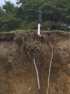
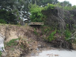
A New Page!!

Photo courtesy of Jim Turner

The long promised page about our wonderful Atlantic Bottlenose Dolphin is finally live. Just scroll over Critters in the top bar and they will be the first in the drop down menu. Did I touch on everything you wondered about dolphins? Please let me know in the comments what you think, but be kind.

Beach Update, Post Matthew

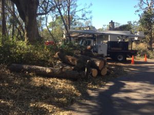
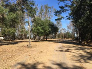
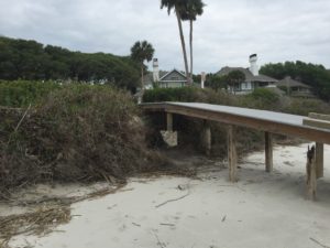
img_5015A little more than two weeks after Hurricane Matthew struck Hilton Head Island as a category 2 storm, and the cacophony of chainsaws is a near constant reminder of the extensive tree damage our beautiful island has sustained. Our home sustained only minor damage and no flooding; we were extremely fortunate, but many others were not.  It has been heartening to see how our community has come together in this time of distress, restoring my belief in the innate kindness of mankind.

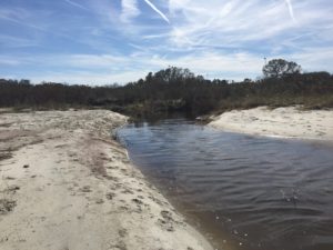
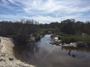
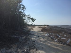
But anyway, I’m not here to wax poetic about hurricanes and community, I want to talk about beaches. All the public beach parks, with the exception of Coligny, remain closed st this time. I did, however, manage to walk Mitchelville Beach today by coming through the back of Barker Field.

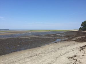
It was not yet high tide and I could not tell how deep this opening to the sound was, so I did not attempt to cross. I shall return later this week at low tide with the intention of making it to Dolphin Head (the sea wall) in Hilton Head Plantation.

Horseshoe Crab Tagging Program

018

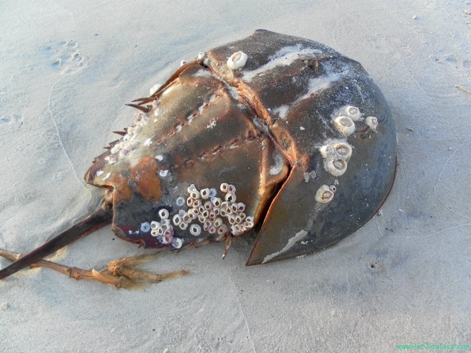
I found this live tagged female May 15, 2016 on Mitchelville Beach, just west of the sign marking the public shellfish grounds.

Horseshoe crab eggs provide an important food source for shorebirds, the crabs themselves are important to medical research and pharmaceutical companies, and they are harvested by commercial fishermen to be used as bait. The status of horseshoe crab populations along the Atlantic coast is poorly understood, but the crabs continue to be harvested. Although it is believed that horseshoe crabs are abundant, a decline in the population could severely impact shorebird populations that depend on the eggs for survival and severely impact medical uses of the crabs.

019

Each animal is tagged with a unique number and the tag includes both the phone number and website for reporting.

In 1999, the U.S. Fish and Wildlife Service initiated a coast-wide tagging program. Currently horseshoe crabs are tagged and released by researchers along the Atlantic and Gulf coasts as part of several on-going studies. This program provides data on distribution, movement, longevity, and mortality of horseshoe crabs. Data are used to inform management decisions about maintaining sustainable horseshoe crab populations. Proper management of horseshoe crab populations will benefit shorebirds, the biomedical industry and the commercial fishing industry.

The U.S, Fish and Wildlife Service views public involvement as an important factor in this program. If you see a Horseshoe Crab with a tag such as this, please call the phone number on the tag and report the tag number, or easier yet, just go online and fill out the Horseshoe Crab Resighting Form. Taking a picture as I did or writing down the numbers will aid you. A certificate of participation containing release information is sent to those who report horseshoe crab tags. You will also receive information about horseshoe crabs and shorebirds, and the first time you make a report you get an awesome pewter horseshoe crab pin.
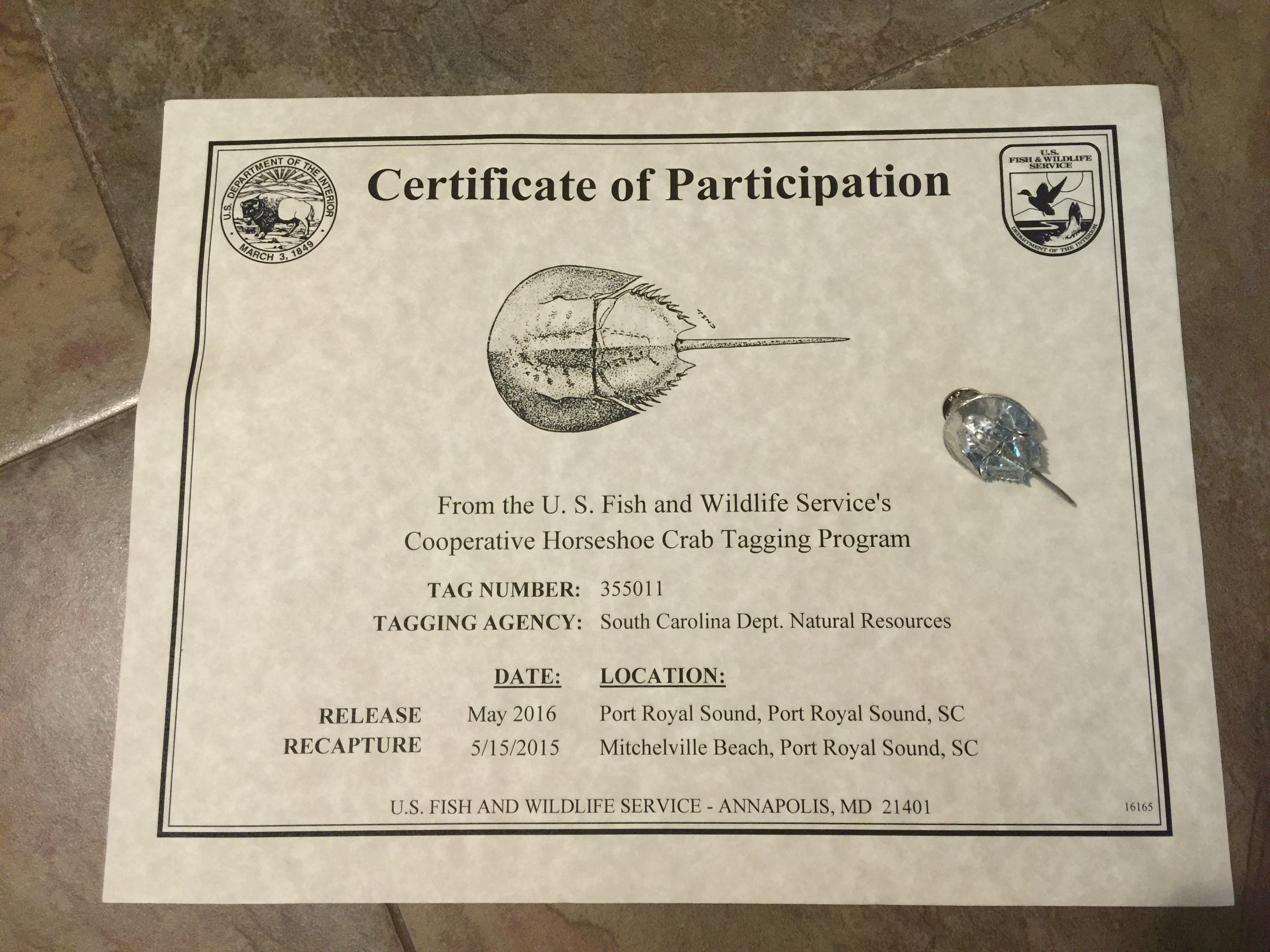
IMG_4496

My certificate and pewter pin came about two months after I reported the tag. I think maybe the release and recapture dates got swapped, but they still tell me that this particular lady was tagged almost a year ago to the day on the same stretch of beach.
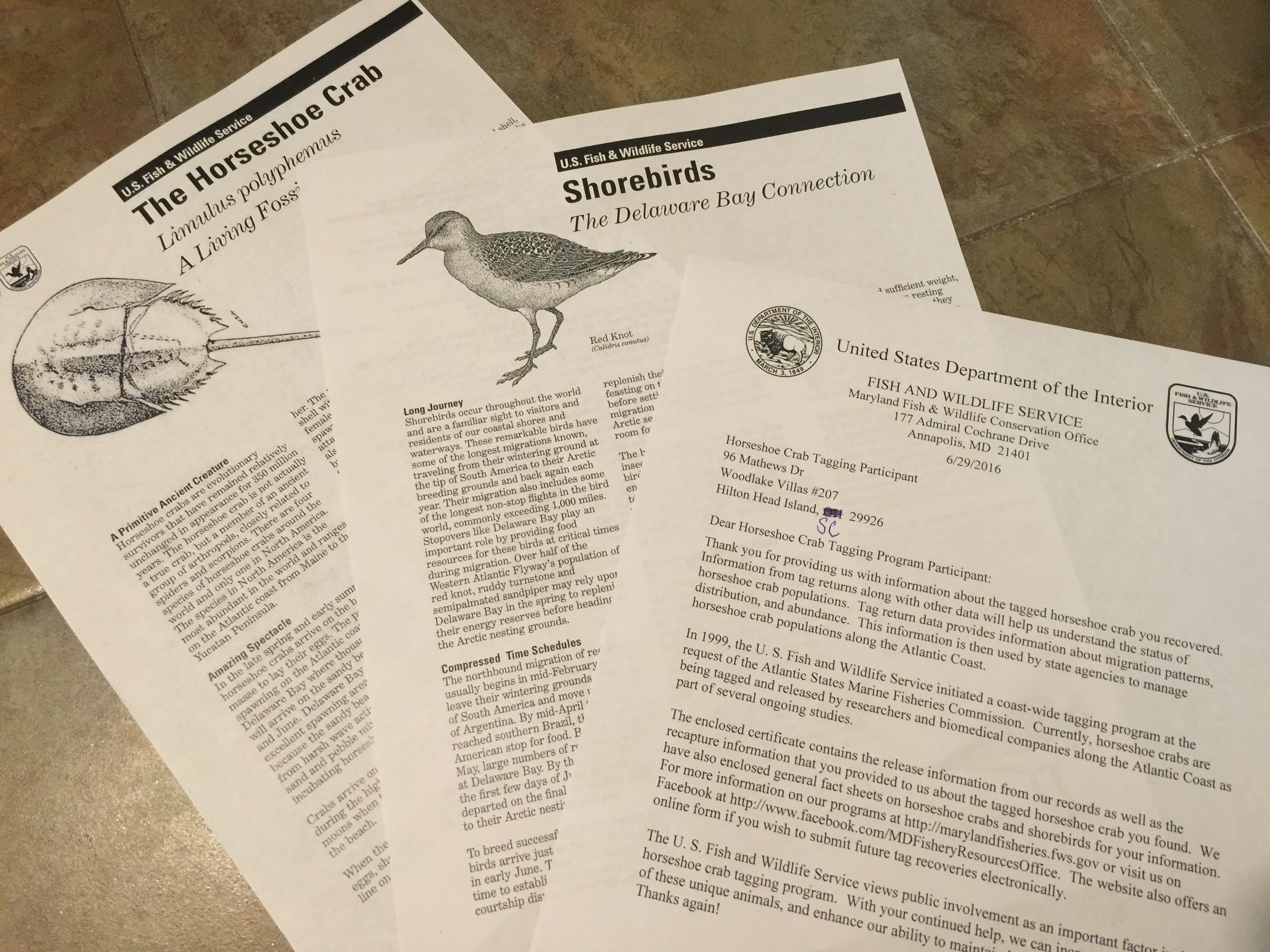
IMG_4497

The information sent with my certificate and pin. I had to laugh that the original address was Hilton Head Island, OHIO.

In Danger of Becoming Endangered…

945274_612229202120503_1537525857_n

I was so saddened to read the article published in “Scientific American” last week. I nearly shared this on the Facebook page for this website, but felt that it warranted a more complete and permanent sharing, so I have included the complete text here. People ask during my programs about threats to the animal being discussed (horseshoe crabs, dolphins, sea turtles, etc), and the biggest threat to all of these is MAN, and so it continues. These creatures predate the dinosaurs and have been of invaluable medical assistance since the 1950’s and look what we are doing to them. I could just cry.

Medical Labs May Be Killing Horseshoe Crabs

Drawing the crabs’ blue blood for vital medical testing can condemn the animals to die, even after they are returned to the sea.

In 2013 John Tanacredi, an environmental sciences professor at Molloy College on Long Island, N.Y., received a call from a friend who worked at nearby John F. Kennedy International Airport. “You’ve got to see this,” he told Tanacredi, and sent him a photo of a cargo container filled with 600 dead horseshoe crabs. It was mid-July, and airport officials had opened the container because of a rotting stench. Continue reading

And so it begins…

A section of the 30-inch diameter pipeline that brings sand to the shore from a dredging location several miles offshore. A slurry of sand and sea water is pumped on to the beach, parallel with the shore, allowing the water to drain and leave the sand. Large bulldozers then move the sand as necessary to rebuild the beach.

I paid a last visit to Mitchelville Beach this morning before access will be closed starting tomorrow, June 1st, to begin the island’s 2016 beach renourishment.  Last done in 2007, this program rebuilds beaches lost as the shoreline retreats due to erosion. The rebuilding of the beach is an ongoing battle with the forces of nature, and one for which there are many arguments for and against, but not here, not now.

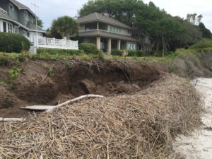
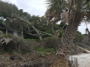
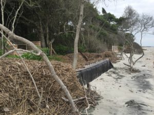
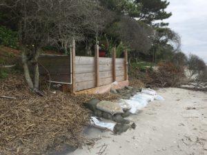
Work has been under way at Mitchelville for the past week, clearing the many trees felled by erosion. The huge peat flats exposed by the erosion and the missing trees leave the beach looking vastly different to a visitor from even a few short months ago.

Last week I took a walk from the heel of the island northwest to Fish Haul Creek to record the vast erosion that has occurred since last fall.

I plan to get out as I can to photograph the changes, but if you want to keep up with updates on the project bookmark this link. Below is a timeline map for the project.

The renourishment will take place in stages and this map represents the planned timeline for the project. In order to complete this enormous undertaking in the allotted 5 months, work will continue around the clock once it commences.